🚨 Severe storms
Official NWS watches/warnings (TN + nationwide) · SPC outlooks & Days 4-8 · MCDs · storm reports · HRRR severe products — updated 2026-10-02 6:24 PM ET
Tornado warning
Severe t-storm warning
Flash flood warning
Other warning
Watch
SPC Day 1-3
Storm report
SPC MCD (active)
250 warning polygons · 3 outlook areas · 0 TN alerts · HRRR forecast maps: hail size classes · UPHL rotation · combined severe chance · basemap OpenStreetMap
👀 Severe outlooks at a glance - ETN · SWVA · WNC
The three-region board: worst-case SPC outlook category across representative towns (chips colored exactly like the map above), day-1 tornado/hail/wind probabilities (worst town), and any active warnings touching the region. It reads ALL CLEAR only when the polygons are actually somewhere else - everything updates with each SPC outlook and NWS warning cycle.
East Tennessee (ETN) - Greeneville · Knoxville · Chattanooga · Crossville
| Today | Tomorrow | Day 3 | |
|---|---|---|---|
| Outlook | General Thunderstorms Risk | General Thunderstorms Risk | General Thunderstorms Risk |
Day-1 probabilities: 0% tor 0% hail 0% wind
No active warnings in this region.
Southwest Virginia (SWVA) - Bristol · Abingdon · Marion · Wytheville
| Today | Tomorrow | Day 3 | |
|---|---|---|---|
| Outlook | General Thunderstorms Risk | General Thunderstorms Risk | - |
Day-1 probabilities: 0% tor 0% hail 0% wind
No active warnings in this region.
Western North Carolina (WNCC) - Asheville · Boone · Murphy · Hendersonville
| Today | Tomorrow | Day 3 | |
|---|---|---|---|
| Outlook | General Thunderstorms Risk | General Thunderstorms Risk | General Thunderstorms Risk |
Day-1 probabilities: 0% tor 0% hail 0% wind
No active warnings in this region.
🎨 SPC color language
TSTM — unorganized; storms, if any, stay ordinary
MRGL — marginal: isolated severe possible
SLGT — slight: scattered severe storms
ENH — enhanced: numerous severe storms
MDT — moderate: widespread severe likely
HIGH — rare: long-track strong tornado / MCS outbreak
The same six colors mean the same thing everywhere on this site: the outlook polygons on this page, the mesoanalysis composites, and the severe-parameter walls on the Models page (bulk shear, lapse rate, SCP, EHI, STP, MUCAPE, CAPE) all share SPC's categorical palette.
📊 Storm reports today (SPC)
Tornadoes today0
Wind reports0
Hail reports0
🗓️ SPC Days 4-8 severe probabilities
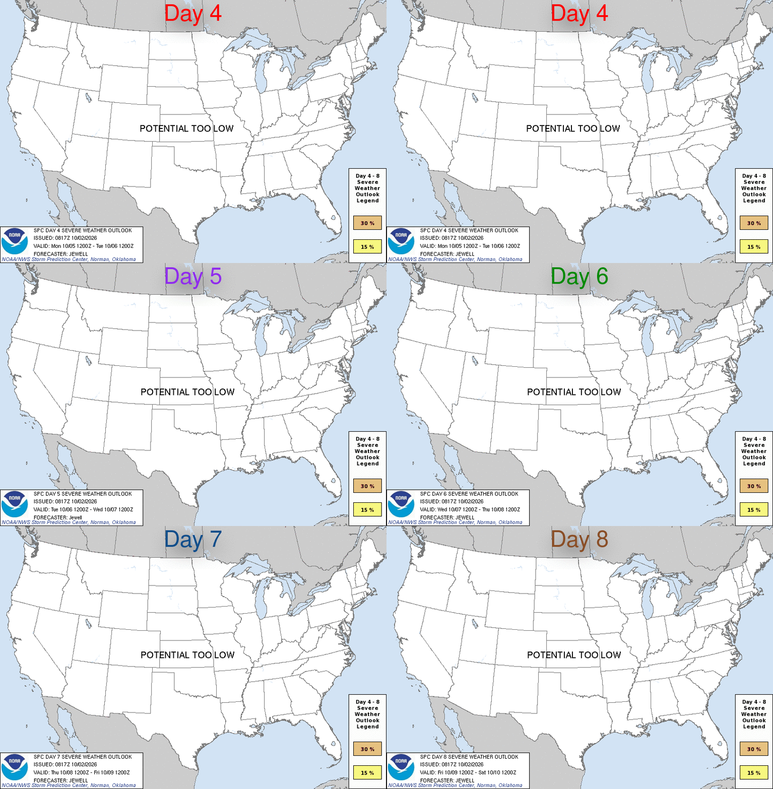
Experimental SPC graphic: probability of severe weather (tornado, wind or hail) for each day 4 through 8 - brown 5% / yellow 15% / orange 30% / red 45% contours. Source product on SPC ↗ - updated several times daily when warranted.
🧊 Hail & 🌪️ tornado-rotation forecast - next 8 hours (HRRR)
East TN peak hail0 mm - no severe hail expected
Peak rotation (tornado proxy)25 m²/s² - no rotating storms forecast
Model run2026-10-02 5 PM ET
| Valid (ET) | Hail max | Size class | UPHL | Rotation |
|---|---|---|---|---|
| 2026-10-02 18:00 ET | 0 mm | — | 25 | — |
| 2026-10-02 19:00 ET | 0 mm | — | 13 | — |
| 2026-10-02 20:00 ET | 0 mm | — | 7 | — |
| 2026-10-02 21:00 ET | 0 mm | — | 11 | — |
| 2026-10-02 22:00 ET | 0 mm | — | 7 | — |
| 2026-10-02 23:00 ET | 0 mm | — | 2 | — |
| 2026-10-03 00:00 ET | 0 mm | — | 0 | — |
| 2026-10-03 01:00 ET | 0 mm | — | 2 | — |
| City | Hail | Class | UPHL | Rotation |
|---|---|---|---|---|
| LaFollette | 0 mm | — | 6 | — |
| Cookeville | 0 mm | — | 4 | — |
| Tazewell VA | 0 mm | — | 3 | — |
| Knoxville | 0 mm | — | 0 | — |
| Crossville | 0 mm | — | 0 | — |
| Norton | 0 mm | — | 0 | — |
HRRR HAIL (max hail diameter, mm) + UPHL (2-5 km updraft helicity, m²/s² - the standard HRRR tornado proxy; 130+ = mesocyclone-strength rotation, 250+ = tornado threat signal). Size classes: small <19 · 3/4-1 in · 1-1.75 in (severe) · 1.75-2.75 in · 2.75+ in. Rotation: weak <75 · rotation <130 · strong 130-250 · TORNADO THREAT 250+. Updates every model cycle.
⚡ Lightning activity - last hour
Detections in latest scan14,123
Hour peak15,146
Storms tracked112
Steady2,518 det. · peak 2,846 · trend 0.99×
Steady863 det. · peak 1,402 · trend 0.85×
⚡ Building1,186 det. · peak 1,326 · trend 1.40×
Steady727 det. · peak 1,089 · trend 0.77×
Steady593 det. · peak 979 · trend 0.83×
Steady574 det. · peak 803 · trend 1.05×
Steady529 det. · peak 741 · trend 1.12×
Fading162 det. · peak 648 · trend 0.51×
GOES-19 GLM flash density · 5-minute scans · bar strip = flashes per scan over the last hour · as of 2026-10-02T22:11:00Z
🎩 SPC risk at home
SPC Day 1 at Greeneville, TNGeneral Thunderstorms Risk
SPC Day 2 at Greeneville, TNGeneral Thunderstorms Risk
SPC Day 3 at Greeneville, TNGeneral Thunderstorms Risk
⚠️ Tennessee alerts (all counties)
No active alerts across Tennessee.
🇺🇸 Nationwide alerts - worst first
Extreme (US)0
Severe (US)0
Moderate (US)0
All active (US)366
| Alert | Area | Expires (ET) |
|---|---|---|
| Flash Flood Warning | Clinch, GA; Echols, GA | 2026-10-02 2:30 PM ET |
| Flood Warning | Black Hawk, IA | 2026-10-03 1:15 AM ET |
| Flood Warning | Bent, CO | 2026-10-02 11:30 PM ET |
| Flood Warning | Lake, IL; Kenosha, WI | 2026-10-03 12 AM ET |
| Flood Warning | Greeley, KS; Wichita, KS | 2026-10-03 5 AM ET |
| Flood Warning | Coconino, AZ; Navajo, AZ | 2026-10-02 10:15 PM ET |
| Flood Warning | Daviess, MO; Livingston, MO | 2026-10-03 11 AM ET |
| Flood Warning | Carroll, MO; Chariton, MO | 2026-10-03 11 AM ET |
| Flood Warning | Carroll, MO; Chariton, MO; Linn, MO; Livingston, MO | 2026-10-03 11 AM ET |
| Flood Warning | Daviess, MO; Gentry, MO | 2026-10-03 11 AM ET |
| Flood Warning | Linn, MO; Livingston, MO | 2026-10-03 11 AM ET |
| Flood Warning | Gage, NE; Saline, NE | 2026-10-02 10:45 PM ET |
Every active NWS watch, warning and advisory nationwide, worst first - tornado, severe thunderstorm and flash-flood warnings lead. Counts by severity; the list shows the twelve most serious. Full interactive polygons on the map above (tick Warnings & watches).
📍 SPC Mesoscale Discussion 2345 (expired)
Severe potential...Watch unlikelyportions of southwestern Kansas into far northwestern Oklahoma · valid Thu 2:32 PM ET - Thu 5 PM ET · watch probability 5%
A couple of severe gusts and perhaps a brief tornado are possible this afternoon. Given the sparse nature of the severe threat, a WW issuance is not expected.
A 500 mb cyclone continues to slowly drift eastward across the southern High Plains, accompanied by gradual destabilization (given widespread cloud cover). A cold front extends northeast from central KS to the TX Panhandle and is sagging southward from beneath the 500 mb cyclone. To the south and east of this front resides a marginally unstable airmass, characterized by mid 60s F surface dewpoints beneath 6.5 C/km mid-level lapse rates, as sampled by the 18Z DDC observed sounding. Given ongoing widespread clouds and precipitation, it is unclear how much additional destabilization will occur. Several storms undercut by the front have managed to produce multiple 40-50 kt gusts per regional ASOS/AWOS, roughly from Hamilton to Finney Counties in southwest KS. Assuming some surface gradient flow enhancement is underway, similar gusts may continue this afternoon. The best chance for a brief tornado will be with storms interacting with locally stronger ambient vertical vorticity not undercut by the front. At the moment, the best area would be in the warm sector along the KS/OK border. Nonetheless, the severe threat should remain too localized and brief to warrant a WW issuance.
Full product on SPC ↗ · WFOs: ICT OUN DDC AMA